

Future-Ready Skills: SGRR University Concludes Intensive Five-Day Geoinformatics Workshop
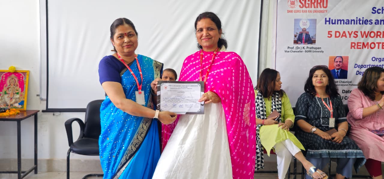
DEHRADUN — The School of Humanities and Social Sciences at Shri Guru Ram Rai (SGRR) University successfully wrapped up a high-impact, five-day technical workshop today, focused on the transformative fields of Geographic Information Systems (GIS) and Remote Sensing.
Organized jointly by the Departments of Geography and Economics, the program, which ran from April 29 to May 4, 2026, was designed to bridge the gap between traditional academic theory and the rapidly evolving world of geospatial technology.
Bridging the Technology Gap
The workshop’s primary mission was to equip students with the practical skills necessary to navigate modern spatial data analysis. Throughout the week, participants moved beyond textbooks to engage with real-world mapping techniques and sustainability planning.
Kapil Oberai, a prominent scientist from the Indian Institute of Remote Sensing (IIRS), Dehradun, led a pivotal session on the broader scope of Geoinformatics. He highlighted how these tools are no longer niche academic interests but are essential for:
• Environmental Management: Monitoring climate change and resource depletion.
• Urban Planning:Designing smarter, more efficient cities.
• Disaster Management:Real-time tracking and mitigation of natural calamities.
“Hands-on training with modern tools is the only way to prepare students for the demands of 21st-century research and industry,” Oberai noted during his session.
Expert Insights and Career Horizons
Keynote speaker Amit Vora addressed the burgeoning career landscape within the sector, noting that the demand for GIS professionals is skyrocketing across both government and private sectors. From satellite data interpretation to digital cartography, the opportunities for skilled graduates are vast and varied.
Prof. Geeta Rawat further emphasized the pedagogical value of the event, stating that integrating such high-tech training into the humanities curriculum significantly strengthens a student’s analytical and problem-solving capabilities.
Practical Milestones
The curriculum covered a comprehensive range of topics, including:
GIS Fundamentals: Understanding the layers of spatial data.
Software Training: Direct experience with industry-standard mapping platforms.
Data Analysis: Converting raw satellite imagery into actionable insights.
The workshop reached its conclusion this afternoon with a formal vote of thanks delivered by Dr. Surendra Kaur Rawal, who commended the students for their engagement and the faculty for fostering an environment of technical excellence.